ECN site code: R14
DEIMS.ID: https://deims.org/b7f692ef-10b0-432e-ab42-a3e9b764c5cc
ECN monitoring by: Scottish Environment Protection Agency; Upland Waters Monitoring Network
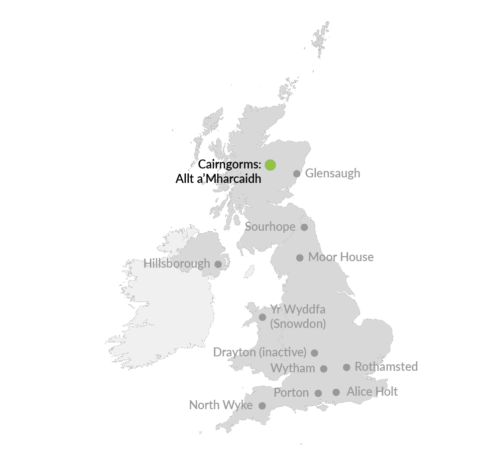
Co-located terrestial site: Cairngorms
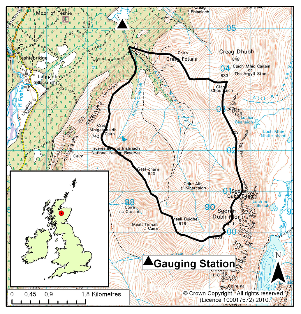
Allt a'Mharcaidh is a stream site on the western flank of the Cairngorm Mountains, in the Invereshie and Inshriach National Nature Reserve. The catchment area is 998 ha and it drains to the River Feshie, a tributary of the River Spey. The catchment rises from 325 m at the sampling site to 1111 m and is covered by alpine and peaty podsols (60%) and blanket peat (40%). The underlying geology is intrusive biotite-granite of the Lower Old Red Sandstone age. Vegetation is characterised by a heather/fescue grass mixture (90%) with native pinewoods (c. 2%) interspersed along the lowest reaches. Land-use is confined to deer grazing. The stream gradient is steep and exposed bedrock, rapids and waterfalls and large boulders characterise the monitored channel section. The Cairngorms terrestrial ECN site is also located in the National Nature Reserve.
Allt a'Mharcaidh is classified as having moderate acid deposition and is a UK Upland Waters Monitoring Network site.
You can read more about UKCEH research and monitoring in the Allt a'Mharcaidh catchment on the UKCEH website.