Weather & climate tutorial - learn about weather and climate change
Fixed point photo archive - fixed point photos visually recording change at selected sites


Weather & climate tutorial - learn about weather and climate change
Fixed point photo archive - fixed point photos visually recording change at selected sites


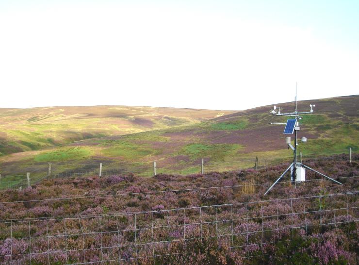

ECN is a UK-based multi-agency programme with funding and monitoring from a consortium of UK government departments and agencies. The network is coordinated by staff at the UK Centre for Ecology & Hydrology (UKCEH). UKCEH manage the data generated by the programme, which are stored in a central database and are made available for research and education.
Our monitoring supports scientific research addressing a range of environmental issues concerning the interacting effects of pressures from air pollution, climate change and land use change. The features above ('themes') describe specific environmental research supported by ECN long-term datasets and form our Why the research matters series.
The UKCEH component of ECN (i.e. network coordination and UKCEH site monitoring) is National Capability, funded by the Natural Environment Research Council via UKCEH's UK-SCAPE National Capability Programme.
Learn more about what we do
We are developing new content on our website to replace features previously on our Data Centre website. We have transferred some content to this website and we've created a new Publications Library. We are also working on a replacement for the time series viewer, allowing us to display interactive graphs of summary ECN data. These developments may take some time and we apologise for any inconvenience caused.